map.flights started on 9 August 2026 as an idea for a flight map that doesn’t rely on a purchased radar feed. The data comes from people who run a receiver at home, in our own network and in community networks, and anything we can’t hear, we don’t make up.
Each episode is one problem: what we set out to do, why it was harder than it looked, and what it looks like today.
stations in our network
184
26 countries, 5 Oct 2026
aircraft on the map at one moment
10,756
5 Oct 2026, 22:56 UTC
aircraft positions in the archive
9.8 bn
5 Oct 2026, incl. imported 2026 history
days from the first page of rules
58
9 Aug – 5 Oct 2026
Milestones
From the first day to today. Each bead is one milestone.
The first live map, with flight history and an altitude profile.
First widgets for other websites. Aircraft beyond coverage keep flying as marked estimates. Ghosts over the ocean
The site speaks more languages; accounts, alerts and a community photo gallery arrive. Thirteen languages, one map
The first SD card image: plug in the box, scan a QR code, and you have a station. The first positions from our own network. Antennas on other people’s roofs
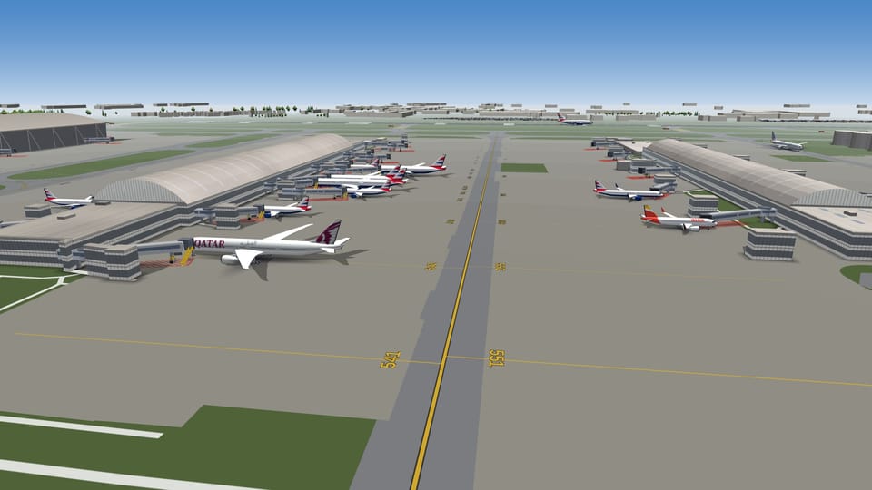
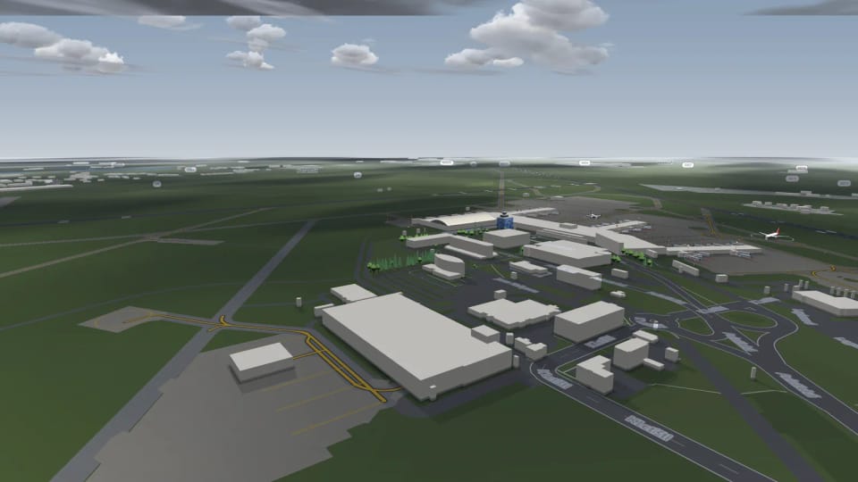
3D airports with live traffic, terrain for the whole world, weather from METAR. Tilt the map and the aircraft rise to their real altitude. 3D airports for the whole world
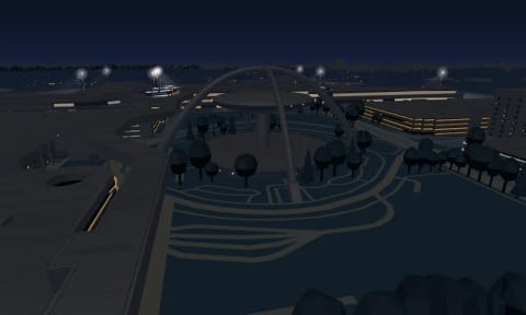
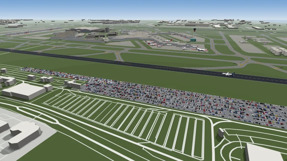
Trees at 3D airports and cars in their car parks. Ground handling around parked aircraft is in the works. Trees, cars and baggage carts
Aircraft in 3D stand on their wheels, with engines at their real size. On its own wheels
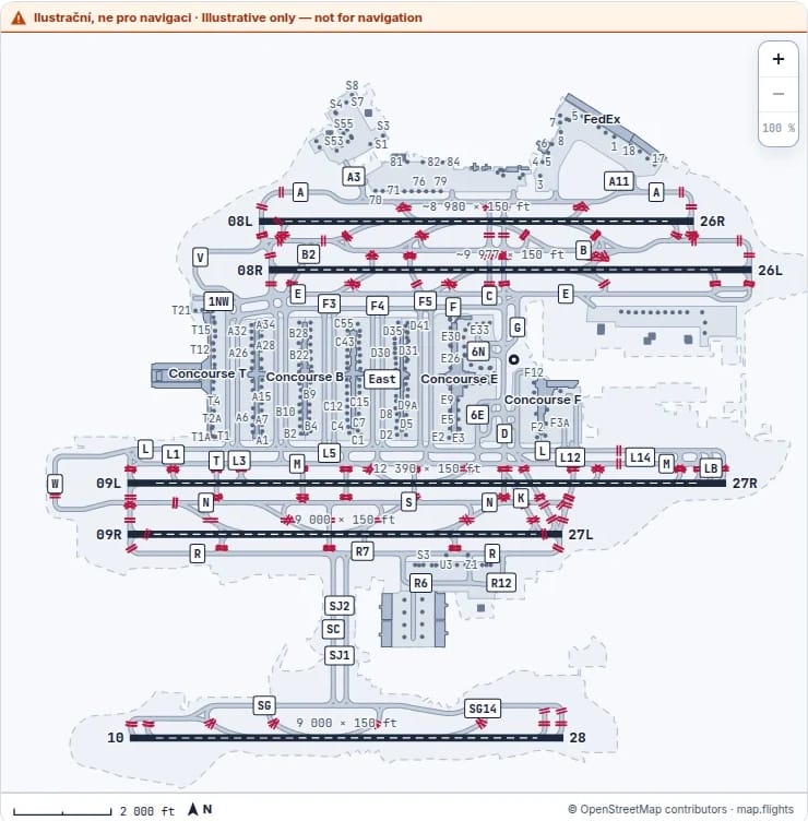
Every airport profile gets a Runways tab with its own runway diagram. Taxi via Alpha
Ground handling drives up to parked aircraft in 3D: a tug, steps, a fuel truck, catering and baggage carts. Trees, cars and baggage carts
In 3D we can now bring an aircraft that falls silent on its way to the stand to the most likely free stand, marked as an estimate. Ghosts over the ocean
The precipitation layer recognises radar echoes that aren’t rain and leaves them out under a clear sky.
Clouds from the weather report drift over the 3D airports, and cars drive on the roads around them. The weather that’s really there
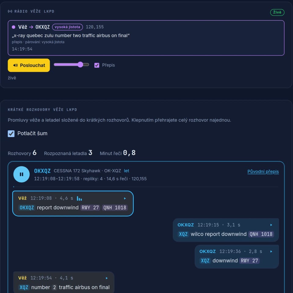
Listening to the tower, in Czechia for now: the radio traffic with a transcript in Czech and English and a short note on what the tower and the aircraft just agreed.
In 3D the camera follows the selected aircraft smoothly, without judder.
3D airports in the desert have sand around the runways instead of a lawn, steppe airports dry grass, and where summers are dry the grass turns to straw. 3D airports for the whole world
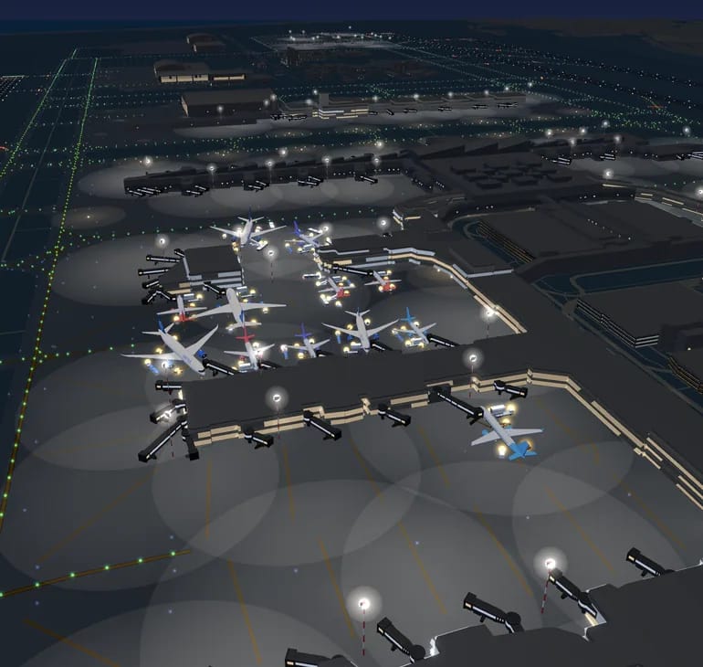
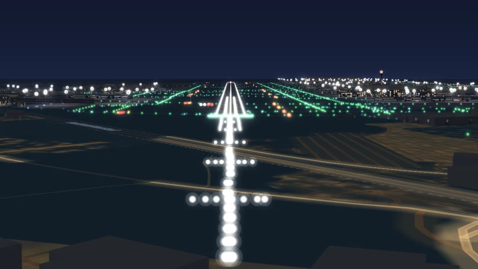
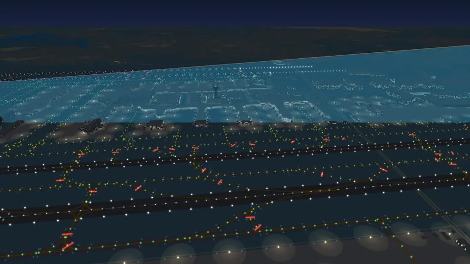
At night, masts light the stands in 3D, and the approach lights go dark at the runway end nobody is landing on. When the airport goes dark
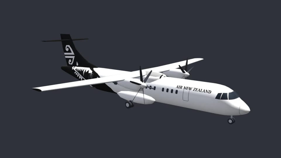
New bodies drawn from the manufacturers’ drawings: A220, ATR, A330, A350 and the 747 and 767 families. Hundreds of liveries, no two alike
Today. The map is flying.
The episodes
Read them in order or jump to whatever interests you. Every episode stands on its own.
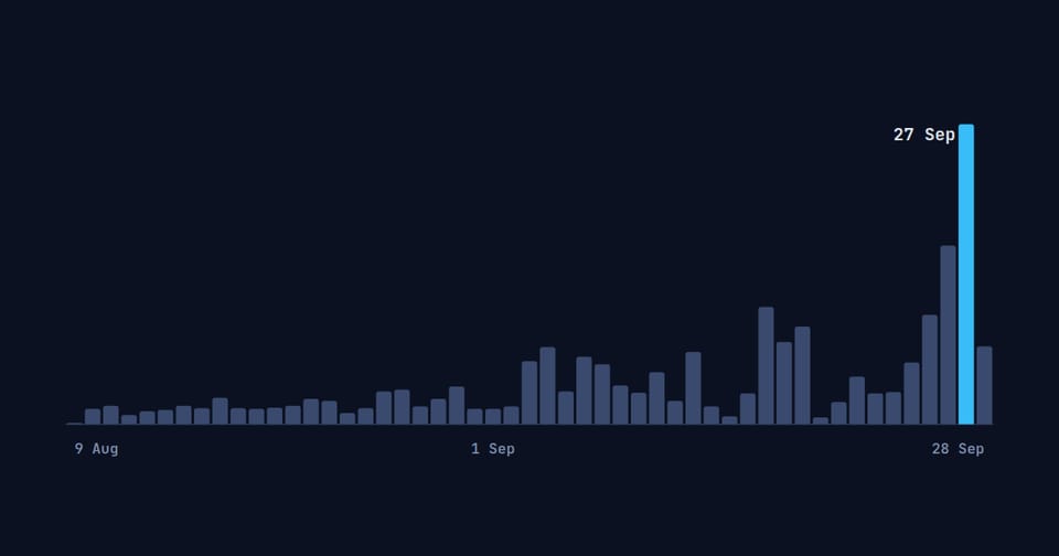
On 7 September, 45 new stations joined in a single day. A network that did not exist in July nearly doubled overnight, and on the evening of 28 September it was sending us more than twelve million aircraft positions an hour.
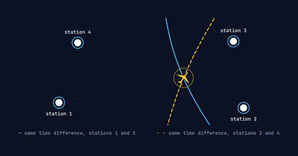
An aircraft in an area of GPS jamming reported a position that jumped around by hundreds of kilometres. At the same moment our stations drew it flying a calm, straight line, worked out from nothing but the time its replies took to reach them.
The tower at Pardubice says ‘oscar kilo’ and three more letters into the radio, and a small Cessna circling near the field lights up on the screen. Out of the endless hiss of the airband we cut out every transmission, turn it into text and look for the aircraft on the map that the voice belongs to.
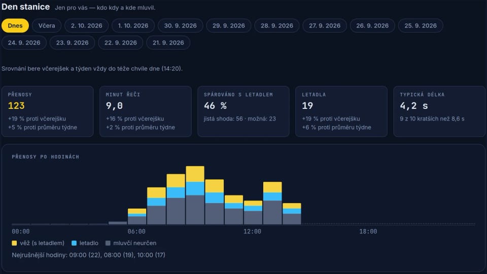
At 14:17 the tower at Pardubice says “cleared to land”, and six seconds later the pilot reads it back. The owner of the receiver that caught it finds it that evening on a desk of their own: who spoke, when and from where, and under every line a small “What it means”.
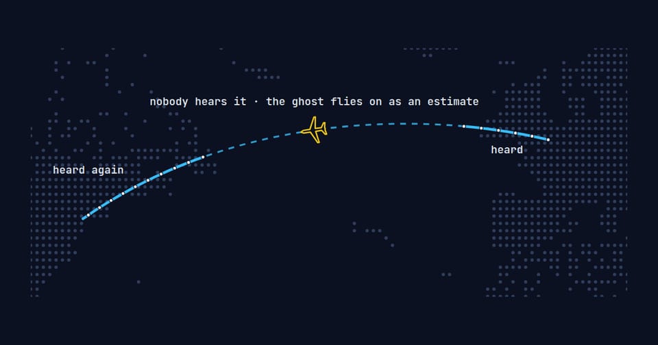
If the map only drew what it hears right now, a flight from London to New York would vanish off Ireland and reappear out of nowhere near Canada. On the evening of 28 September, 1,829 aircraft were flying where no antenna could hear them, and you could still see every one of them: as an outline, with a label saying the position is our estimate.
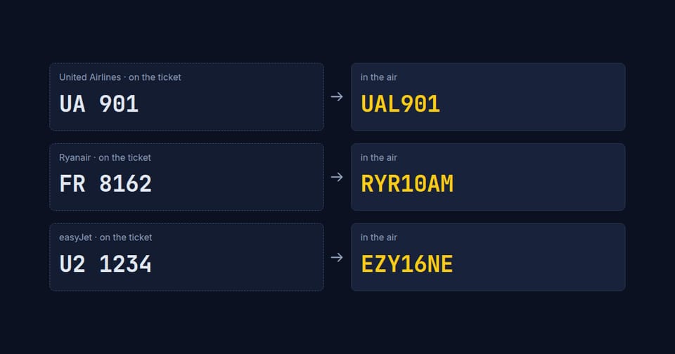
Your Ryanair ticket says FR 8162. The aircraft announces itself in the air as RYR10AM, and nothing in the two strings links them. Type the ticket number into map.flights and it finds the aircraft anyway.
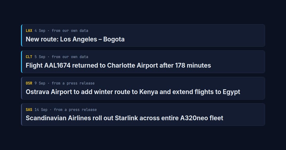
On 2 September at 23:43 UTC, American Airlines flight 1674 left Charlotte for Seattle. At 02:41 it touched down in Charlotte again. Nobody sent out a press release. Only our network saw it.
19 September, NATO Days in Ostrava, the main display block. Ten aircraft over the airfield in our data, and almost twenty ground vehicles. The map looked empty at exactly the moment the airfield was busiest.
“Taxi via Alpha, hold short of runway 24.” Anyone who listens to a tower hears lines like that all day, and rarely knows where Alpha actually is. The new Runways tab on every airport profile shows it.
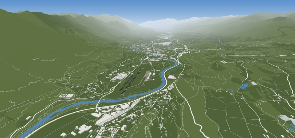
At more than thirty airports you can open a live camera next to the 3D scene. Internet video always runs a few seconds late, so the scene holds its aircraft back by the same delay: what is touching down in the stream is touching down on the map. The same rules draw Innsbruck in the Inn valley between two-thousand-metre peaks, Hong Kong with Lantau island behind the runways, and an airfield in Alaska you have never heard of.
Green at the start of the runway, red at its end, blue along the taxiways and a white flash racing towards the runway twice a second. Airport lights are a language, and at night our 3D airports speak it, down to the apron masts, the lit cab of the control tower and the villages beyond the fence.
Every half hour, airports all over the world send out a short telegram about the weather. We have kept every one of them since 11 August, and out of them we build an airport’s weather page, the clouds over the 3D airport, wet tarmac and the windsock by the runway.
An Airbus on final into Prague doesn’t drop onto the runway flat. It raises its nose, touches down on the main gear and only then lowers the nose wheel. A B-52, with its wheels in tandem, lands almost level. And when you tilt the map, the same aircraft rise to their real altitude and cast shadows on the ground.
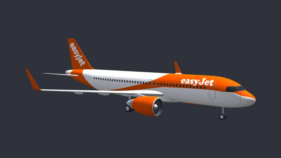
The shamrock on an Aer Lingus tail, the crane of Lufthansa, the harp of Ryanair. More than 670 airlines fly in the map.flights 3D view in their own colours, with their names on the fuselage in Latin, Chinese or Arabic script, and every livery was drawn and then held up against a real photograph, left side and right side separately.
The Boeing 757 in our 3D airports stood on its engines, its main wheels hanging above the runway. Today it stands on its wheels, and so do the A320neo, the E190 and the A350, which were no different. And when it touches down, its spoilers rise above the wings and its shadow falls by the real sun.
At the world’s busiest airport only the control tower had a height. Everything else in Atlanta was boxes of the same height. The tower at Los Angeles came out at 86.5 metres by our own calculation; the official register of aviation obstacles says 86.
An aircraft rolls onto its stand and stops. A tug, steps, a fuel truck, catering and baggage carts drive up, work around it for about an hour and then drive off again. Since 1 October it works like that at the 3D airports too. The trees and the cars in the car parks have been there since late September.
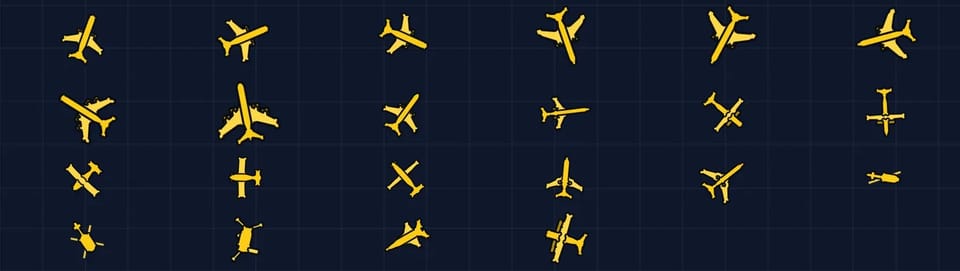
An icon the size of a fingernail, and you can still tell an A380 from a regional jet: every silhouette on the map is our own 3D model seen exactly from above.
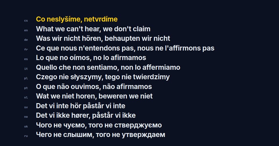
In Czech it is ‘3 letadla’ but ‘5 letadel’. Polish and Ukrainian have their own exceptions, English makes do with two forms. A site that has to get this right in thirteen languages carried more than 900,000 words at the end of September: more than the whole Bible, and nearly one and a half times War and Peace.
Point the phone at the sky and a compass shows what is flying over your head. Your exact location never leaves the phone. We have been building the app since 25 August; it is not available to download yet, we are tuning it on real phones.
On 15 September the owner of two stations wrote that he couldn’t see altitude on the aircraft his stations heard. In one hour more than 17,000 positions had come from him, and not one of them carried an altitude. At 16:52 UTC the same day the fix was live, and minutes later altitude and speed were flowing from his stations.