Atlanta made of boxes
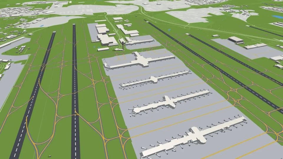
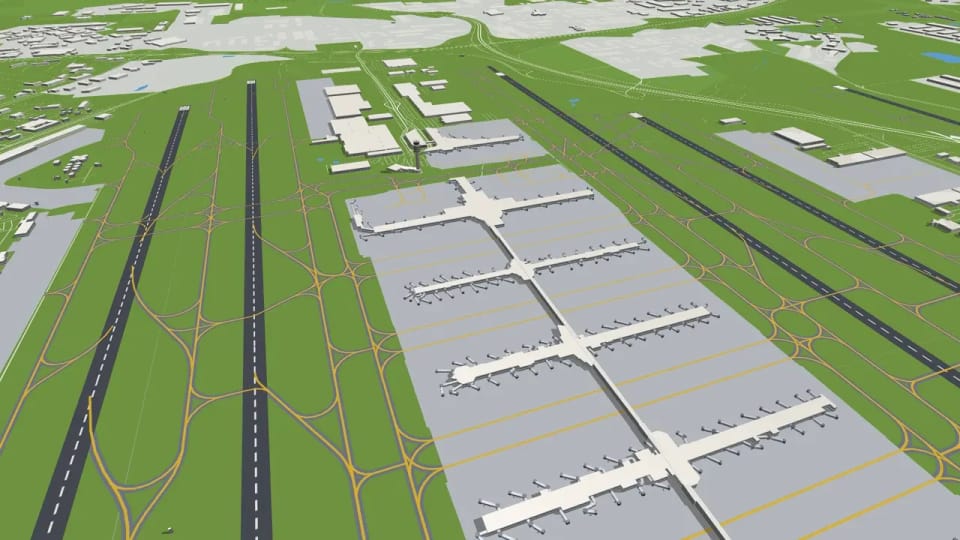
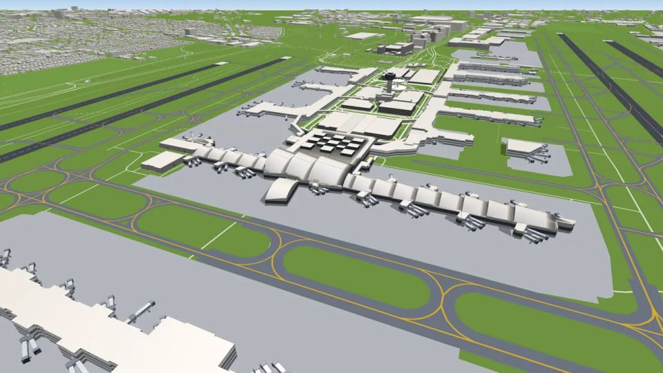
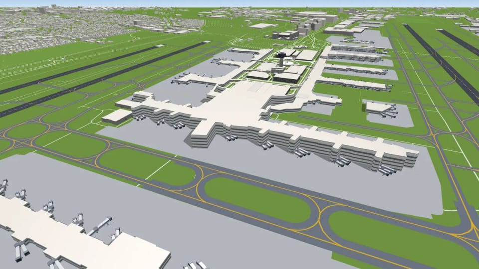
The open map of the world is drawn by volunteers. Around airports they carefully trace where every building stands, but hardly anyone fills in how tall it is. At Atlanta, the busiest airport in the world, only the control tower had a height, and every concourse came out as a box of one height.
Paid data would fix it fast, but it would make us depend on someone else’s service. So we settled on a rule: what we can build ourselves, we build ourselves. The footprints come from the open map. Heights and roof shapes come from airborne laser scanning, lidar: an aircraft flies over the land and measures it with a laser, point after point, so you can see how high every roof is and where it breaks. Many countries publish these scans freely, among them the United States, the Netherlands, Switzerland, France, England and Spain, and wherever they do, we use them. The colours of the roofs we read from freely available satellite images.
Photographs of the real buildings come last, and they settle the rest: the shape the scan can’t show, the colour of a facade, where the windows run, what stands under a roof. A multi-level terminal gets its steps, a hangar its curved roof only if it really has one. What the map already knows correctly stays as it is; we fill in what is missing and overwrite only where the map is off by more than a few metres. And where nothing tells us a number, it is our estimate, and it is kept as one.
One small thing you see for a second: while an airport’s buildings are still loading, plain boxes stand in their place. They aren’t glaring white but muted grey. We measured how bright a finished airport looks from above and gave the boxes the same brightness, so the scene doesn’t flash when the real buildings arrive.
Every tower is different
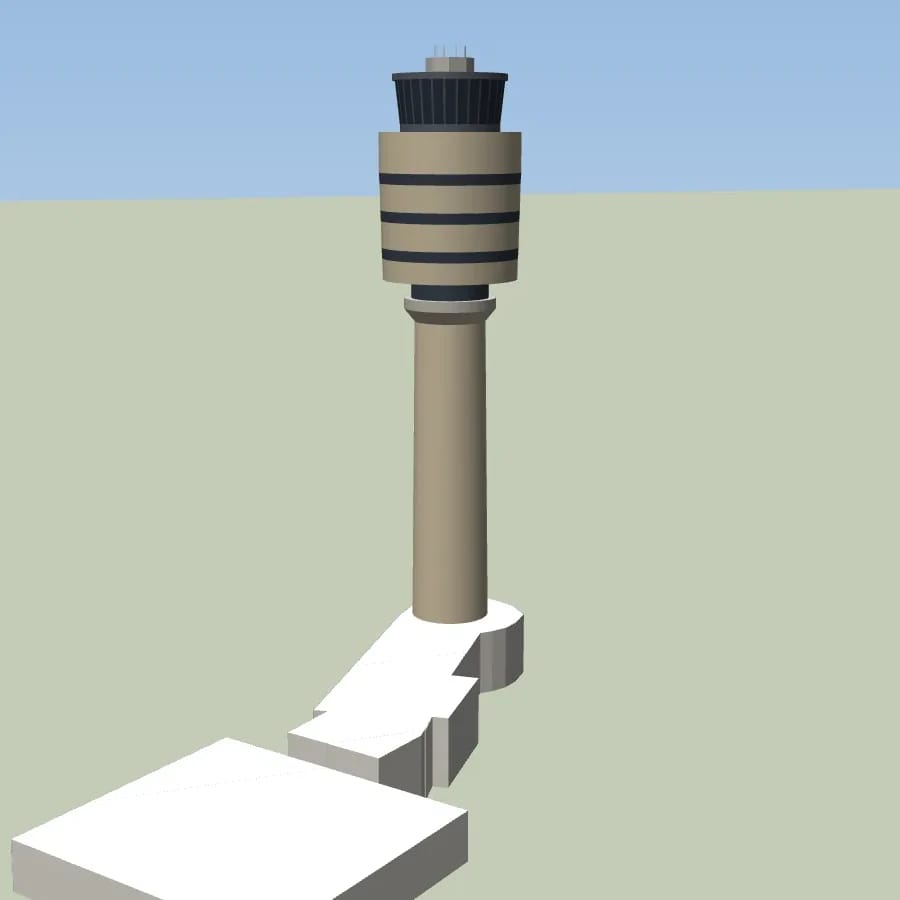
The control tower is the tallest building at an airport, and no two look alike. Atlanta’s is 121 metres tall and was the tallest in North America when it opened in 2006. The one at Los Angeles, from 1996, has a dark block under its cab carried on white struts, a stylised palm tree. Denver’s is almost a hundred metres, with a dark cab and a white radome on top.
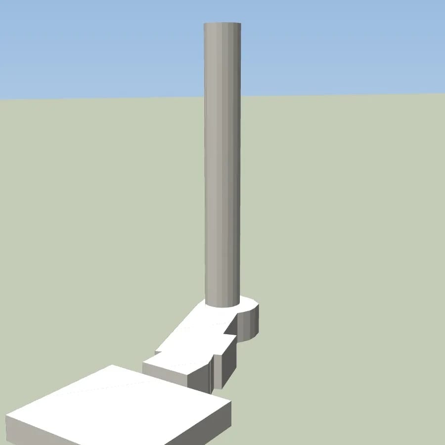
In the open map a tower is usually just an outline, so in 3D it rose as a plain column. By 4 October, 199 towers at 186 airports had their own model, built from photographs and published dimensions: the shaft, the floors below the cab, the glazed cab itself and the radome. The glass is solid and dark, as on our aircraft. At night the cab glows with warm light all night long, and on top shines a red obstacle light, as on tall structures around real airports.
The Theme Building got its arches
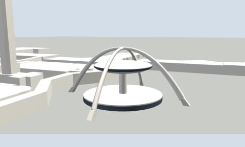
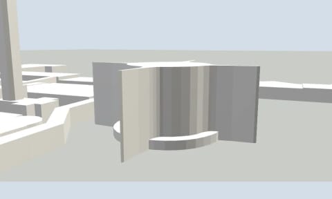
Some buildings can’t be read from a footprint. The Theme Building in Los Angeles is two crossed parabolic arches over a flying saucer, 41 metres tall, and it came out of the map as a plain cylinder. The TWA Flight Center at JFK, the work of Eero Saarinen, is four concrete shells rising like wings to 23 metres, and the map had it as a flat slab in the shape of a bird. Today both have their real shape, modelled from photographs and published dimensions.
Denver’s terminal got its tent roof with 34 peaks in two rows of seventeen, Heathrow’s Terminal 5 its single vault 396 metres long and 40 metres high. Next door to the Theme Building, the Tom Bradley International Terminal got its roof of curved waves, each segment rising along the hall and ending in a glass step to the next. By the end of September 49 landmark buildings at 34 airports had their own model, and their walls and roofs take the colours of the buildings around them, so a landmark doesn’t shout in the middle of the airport.
Tents at Jeddah
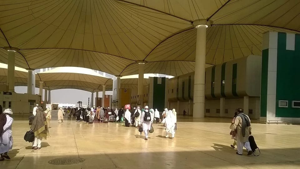
The Hajj Terminal at Jeddah airport is a field of 210 tents of sand-coloured fabric on tall pylons, in two halves, open since 1981. Underneath is a shaded square where pilgrims on their way to Mecca wait for their buses. The open map has only the outlines of the two halves, so for a long time our 3D had a white sail over an empty floor, and the jet bridges ended in mid-air.
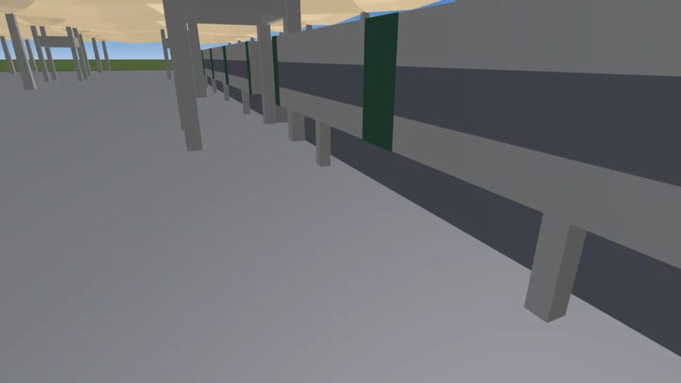
What really stands under the fabric we found in the published description of the project and in photographs. Most of the area truly is an open square with shops and benches. The enclosed, air-conditioned buildings stand only under the outer row of tents, along the apron, and the jet bridges in the open map end exactly on that edge. A photograph from the aircraft side shows a continuous two-storey building with bands of windows; one from the square shows the ground floor set back behind columns, the upper floor jutting out, a white facade with green panels. That is how we draw it now, and the fabric is the beige of the photographs, not white.
The western half didn’t get a building. Its apron only came in 2009, and on the photographs its edge by the stands is open, with a fence and a view right across the square. What neither the photographs nor the description tell us, we don’t make up. The depth and height of the building are our estimate, measured against the towers around it, and we keep them as an estimate. The low pavilions on the square are in the photographs, but nothing says where exactly they stand, so for now we leave them out.

Denver’s terminal has a tent roof with 34 peaks. In our 3D it has all 34.