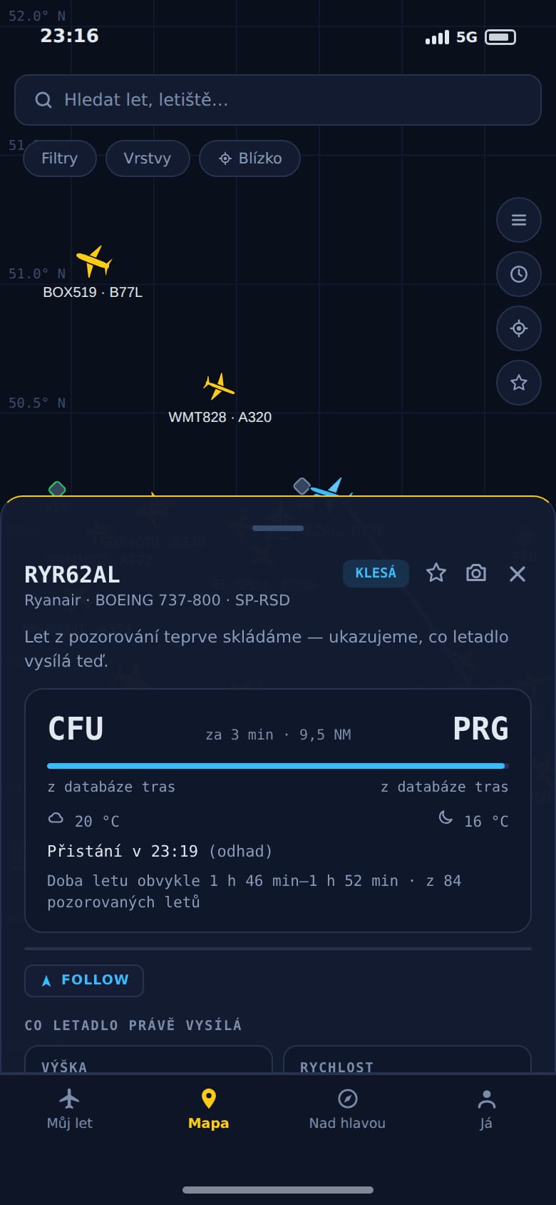
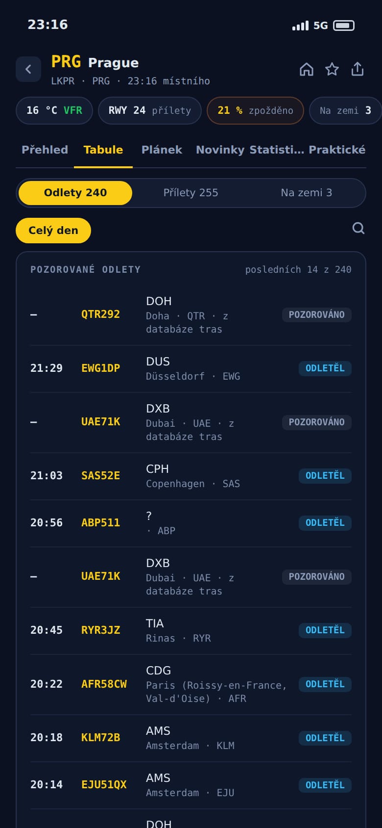
A website on a phone isn’t enough
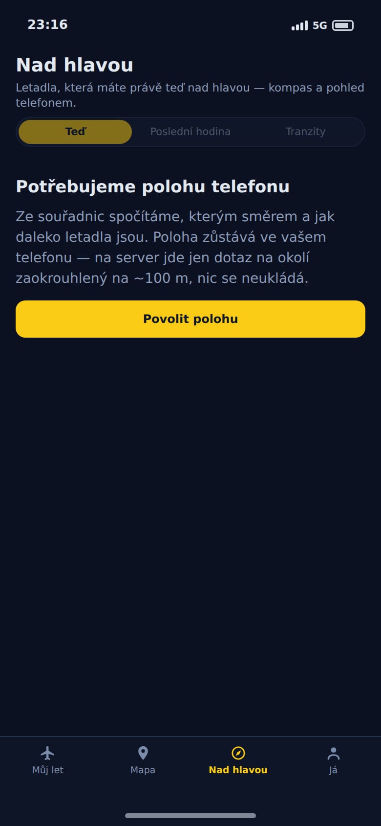
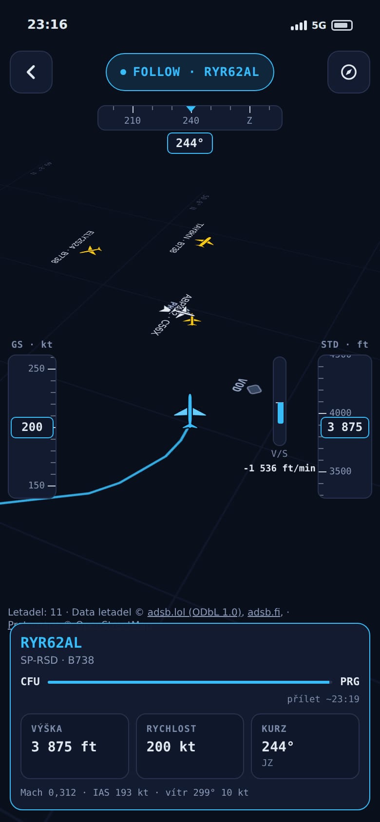
map.flights works in any phone browser, and still there are things only an app can do. It tells you the aircraft you follow has just taken off. And in Overhead mode you just raise the phone to the sky: the compass shows which way and how far away each aircraft is, the camera can label them right in the picture if you like, and the Last hour view shows what flew over before you even took the phone out.
A phone’s compass is magnetic, and magnetic north is not true north. The difference changes with the place: a few degrees in central Europe, easily more than twenty in northern Canada. The app takes the direction to true north, and when the phone can’t provide it, the app says so. When the compass is off, it suggests drawing a sideways figure of eight in the air with the phone.
Your location stays in the phone all the while. Directions are worked out on the phone itself and the server only gets a question about the surroundings, rounded to about a hundred metres. The app says so right in the prompt, before it asks for permission.
Photographers will like transits. The Sun and the Moon are each about half a degree across, and an airliner crosses their disc in a fraction of a second. The website and the app work out from live positions which aircraft will cross the disc in the next ten minutes as seen from exactly where you stand. The forecast is a straight line: an aircraft that turns or starts to descend cancels it, and the altitude an aircraft reports is only good enough that at twenty kilometres its error is about the size of the disc. So the list also shows near misses, and where to point the lens stays the photographer’s call.
The boarding pass in your phone
The barcode on a boarding pass follows one worldwide standard. It holds the passenger’s name, the booking code, where from and where to, the airline, the flight number, the seat and the day of departure. The day, though, only as the number of the day in the year, with no year at all: 17 June is day 168.
The app reads the code with the camera right in the phone and works out the year by itself, because a boarding pass is almost always for the nearest such day. The name stays in the phone, the booking code is not stored at all, and the server only gets the airline, the flight number and the airport.
Then comes the best part. The aircraft that will fly you is usually still somewhere in the air as a different flight. When we find it, the app shows above the map that your aircraft is now flying from Amsterdam to Prague, with an estimated landing time. Whether it will make your departure it doesn’t say: that would be a guess, not a measurement.
Built for thumbs
Almost nothing carries over from the website as it is. Arrow buttons make sense with a mouse and nobody wants them on a phone. The flight panel follows your finger and stays where you let go, sheets close with a swipe, dragging the playback timeline jumps through time, and touching the map pauses Follow mode.
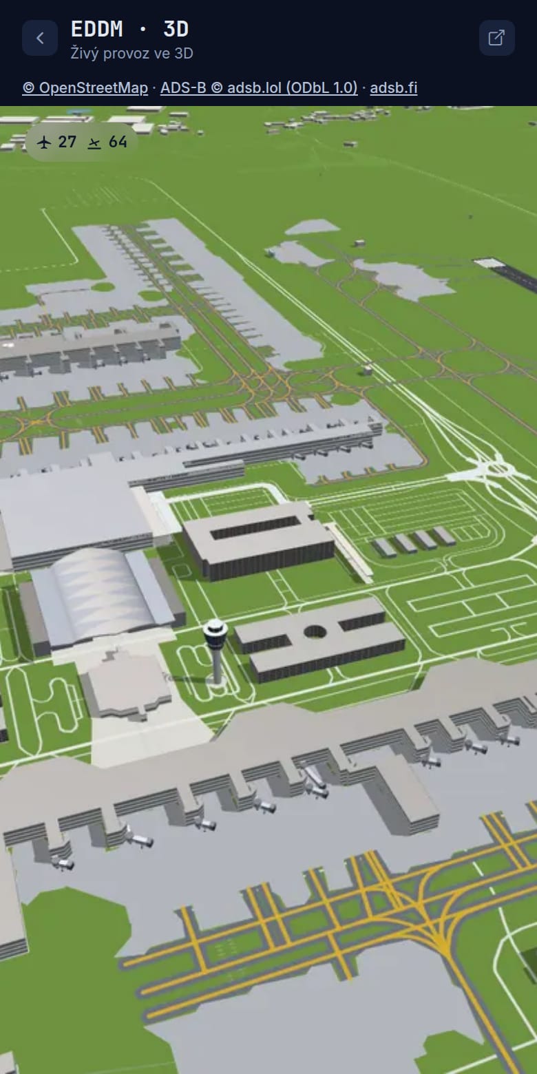
Links from the website open straight in the app. In September the app caught up with the website in several waves: spotting locations, flight anomalies, group mode with up to six aircraft, connections between cities and the 3D airport view.
A piece of the map on someone else’s site
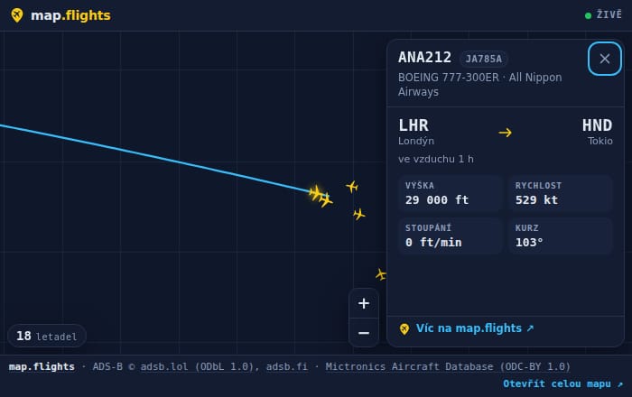
Spotters stream airports on YouTube, flying clubs run websites, small airports have no budget for a departure board of their own. Instead of advertising we offered them a piece of the map: copy a few lines from the configurator and live aircraft appear on the page. The first widget existed on 11 August, before the site had accounts. At the end of September there were six kinds: a map, departure and arrival boards, a badge with the number of aircraft around, the status of one flight, a station card and the fleet of one airline, in three themes.
A widget lives on a site we don’t own. It must not slow it down, break its styles or collect its visitors. So it only loads once the reader scrolls down to it, lives in a frame of its own where it can’t touch the host page’s look, and on a hidden browser tab it asks for nothing. If a visitor has JavaScript switched off, a plain link to map.flights stays in its place.
The board shows the airport’s own time, even to a visitor on another continent. Click an aircraft and its detail opens right inside the widget: on a phone the card slides up from below, one finger scrolls the host page and two fingers move the map. The logo stays in the corner even when the host hides the header.
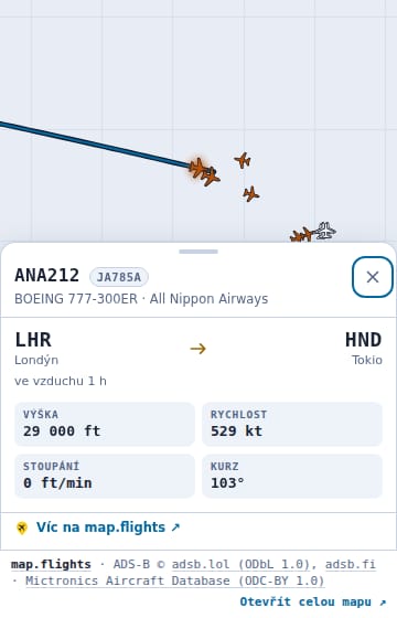
The data credits in a widget cannot be switched off. The licences say they travel with the data, so they travel onto someone else’s site too.